Four days of Trail running in the Lakes District

Long weekend of trail running in the Lakes District – paradise for fell running, cycling and hiking. 4 Days, 4 runs, 4 GPS routes and GPS tracks available to download with plenty of pictures of the fells, running routes and the misty fog from the peaks. Senses bathed in the smells of damp landscape, muted sounds of footsteps and the clatter of the nearby cattle. And that silent hiss from the distant fall of water.
See the images and find the GPS routes below.
Routes and runs:
Day 1: Windermere to Dubbs Reservoir (cca. 10km)
Day 2: Glenridding to Grasmere via Helvellyn, Dollywaggon Pike and Grisdale Tarn (cca. 18km)
Day 3: Langdale pikes from Dungeon Ghyll (cca. 10km)
Day 4: Sour Howes from Windermere (cca. 12km)
Transport around Lake District
Transport around the Lakes is superb; buses from Windermere to Ambleside or Grasmere leave every 20min (including Sundays). The rest have extremely clear-to-understand timetables and you can get a daily ticket to just pop on and off any bus you want. Go to the Stagecoach website to find the map of bus routes and timetables.
Day 1
Dubbs Reservoir
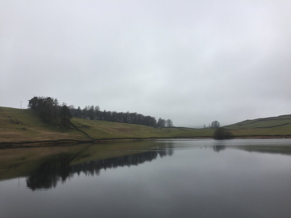
Dubbs Reservoir
Distance: cca 10km (6.25 miles)
Total climb: 224m
Download GPS file
Short (and fairly flat) run from Windermere to the Dubbs Reservoir across the view point Orrest Head overlooking lake Windermere and the surroundings.

Misty start of the trip
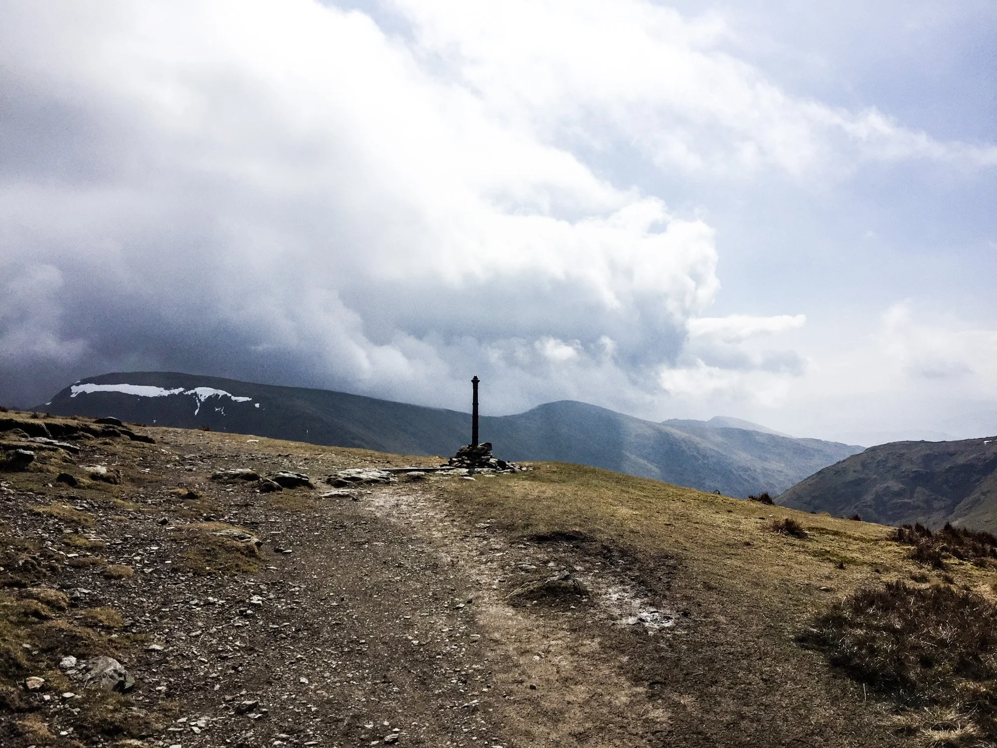
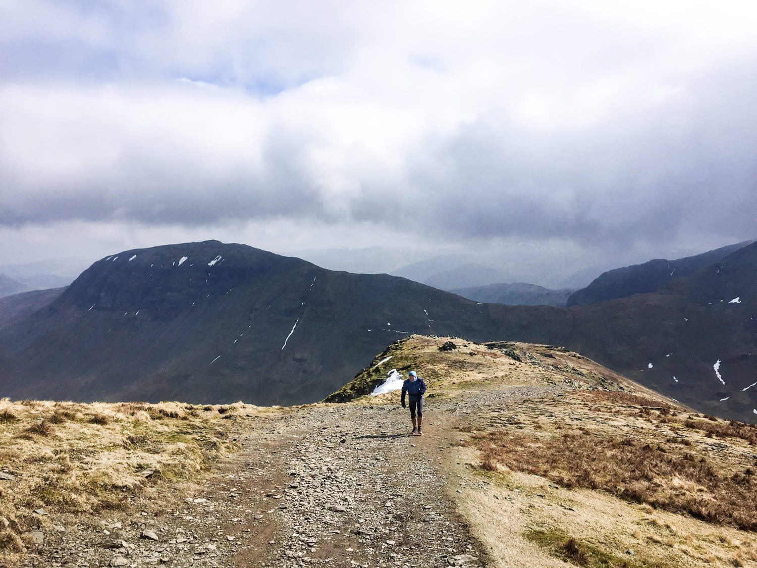
Day 2
Glenridding to Grasmere via Helvellyn and Grisdale Tarn

Going up the Zig-Zag
Distance: cca 18km (if you don't get lost in the fog) (11 miles)
Total ascent: 932m
Download GPS file
Nice and short run across Helvellyn (Britain's 3rd highest peak) starting at the little village of Glenridding next to Ulswater lake, going up the 'zig-zag', continuing across Lower man, Helvellyn and Dollywaggon Pike and then descending into the valley via Grisdale Tarn, finally ending in Grasmere for coffee and porridge.

Passing mountain-bikers

Snowy ridge

Wind in my belly, smile on my face

Top of Helvellyn. Amazing 360 minimalist views in all directions. Rolling fog has disappeared only 15min later..


Beautiful chance encounter. This youthful older lady is running (uphill now) back to Glenridding from the Grisdale Tarn. Done more or less the same route as me, twice or maybe 2.5x my age (•, fantastic attitude and a huge smile on her face. I wish I'm like her when I grow up.


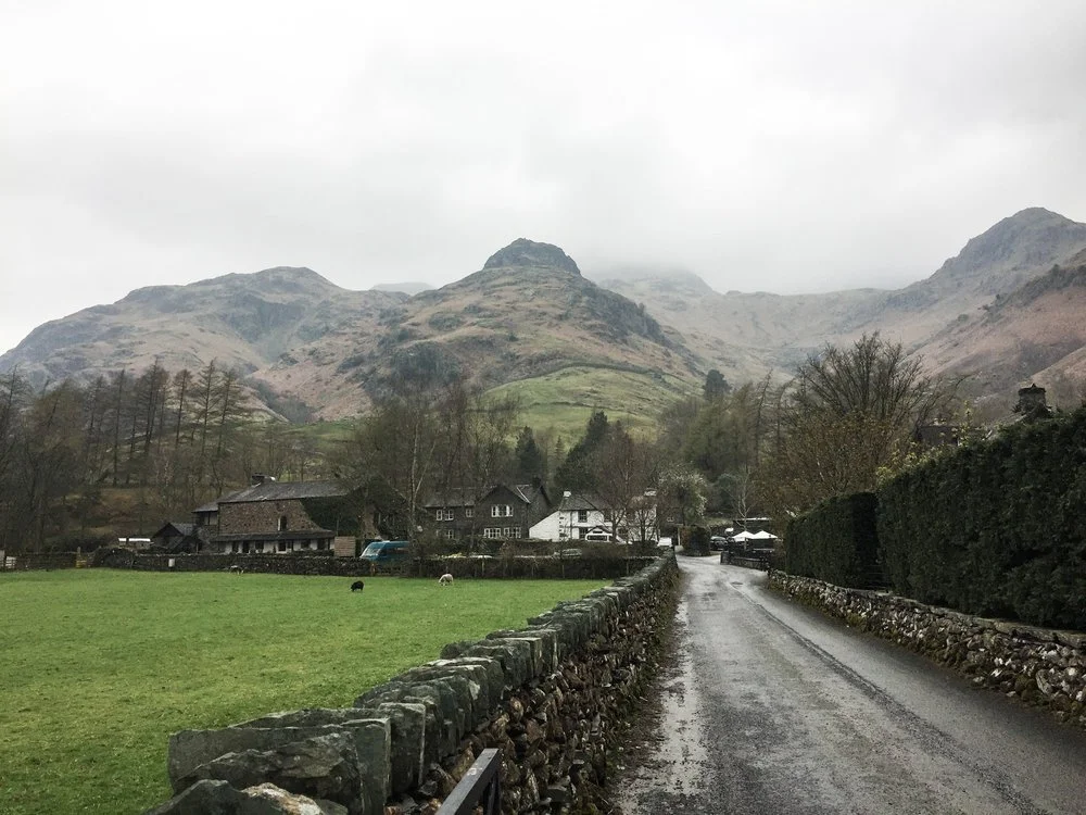
Day 3
Langdale Pikes
Distance: cca 10km (6.25 miles)
Total ascent: 751m
Download GPS file
This was a damp day, really damp. Starting at the tiny village of Dungeon Ghyll this (more a hike than a run really) takes you to the top of Langdale Pikes (Harrison Stickle, Loft Craig, Pike of Stickle). The route is quite technical at times, so being vigilant is advised.


Mountain sheep looking at mountain human
Day 4
Sour Howes from Windermere
Distance: cca 13km (8.2 miles)
Total ascent: 445m
Download GPS File
Goodbye run for my last day in the Lakes. Comfortable soft paths over Orrest Head and up the Sour Howes fell and gentle roll of gravel roads on the way back. Windy, wet and muddy, but definitely worth it every breath and step.


Fell running through the trails of Lakes District is beautiful, wet, green, soft and rocky at times. Lakes hold a special place in my heart.
See you again soon,
Peter